Matt Wozniak
PhD Candidate
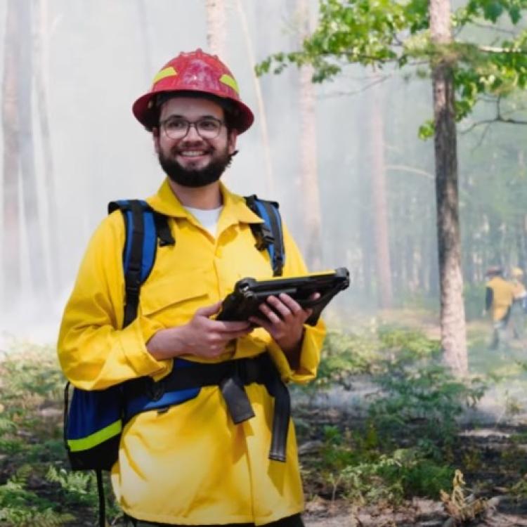
Matt Is a PhD candidate at West Virginia University. He is working on developing methods to better map wildland fuels through remote sensing methods. Specifically he seeks to develop methods to scale measurements collected by terrestrial LiDAR scanning to data collected by aerial LiDAR scanning.
Organization
West Virginia University
Fire Ecology Vegetation Modeling Remote Sensing Fire Effects
The Wildfire Science & Technology Commons is a UC San Diego initiative funded by the National Institute of Standards and Technology (NIST).
