Inga La Puma
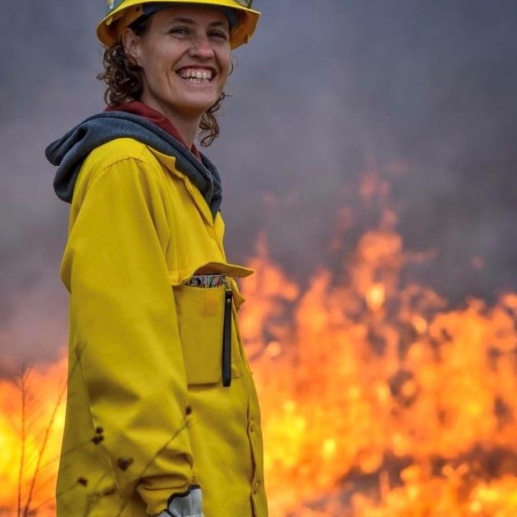
Dr. Inga La Puma is the LANDFIRE Program lead under the Fire Modeling Institute at the Missoula Firelab with the USDA Forest Service. She currently splits her time between managing and improving traditional production of LANDFIRE spatial data, including disturbance, vegetation, and fuels, and developing a strategy for Next Generation LANDFIRE data that more accurately reflects the reality of structure and composition on the ground. Recently she has been exploring the advantages of using GeoAI and geospatial foundation models to map all aspects of fuels in 4D at high resolution across the United States. Dr. La Puma has a background in landscape ecology, GIS/remote sensing, data science, fire science and science communication. Inga is also a volunteer firefighter for her local fire station and is on-call for the New Jersey State Forest Fire Service.
Wildland Fire Solution Interest: Pre Fire, Post Fire
Fire Ecology Remote Sensing LiDAR AI/ML Big Data Landscape Ecology Fire Science Data Science Science Communication
The Wildfire Science & Technology Commons is a UC San Diego initiative funded by the National Institute of Standards and Technology (NIST).
