Challenge
Next-generation 3D vegetation and fire models can enable the new tools fire managers need for real fuel and fire management solutions. Low-lying woody vegetation is an essential driver of fire behavior, but its structure and distribution is complex to predict at fine scales and in three dimensions. New machine learning approaches to predict the spatial distribution of shrubs will dramatically improve the ability to forecast site-specific fire behavior and effects.
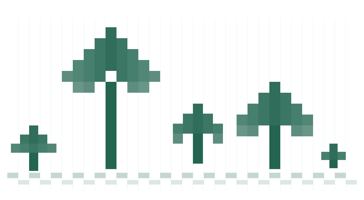
Traditional 2D fuel models are heavily focused on parametrizing forested ecosystems and largely ignore the influence of shrubs on fire behavior, often treating rangelands and shrub dominated ecosystems as uniform across large areas. In reality, shrubs are highly variable in both density and spatial configuration. This variability strongly influences fire behavior—shrubs can act as heat sinks, fuel breaks, or ladder fuels depending on their arrangement. When fuel models fail to represent this structure, fire behavior models inherit those inaccuracies, limiting their ability to simulate fire spread and intensity. This limitation is particularly consequential in Southern California, where shrub-dominated ecosystems are widespread and where spatial patterns of shrubs play a critical role in modulating fire spread under fluctuating and extreme weather conditions.
The fuel beds and forest structure generated by vegetation modeling tools like FastFuels (USFS) are used as inputs to fire models like QUIC-Fire (LANL), which uses coupled-fire atmosphere dynamics to produce simulations grounded in the underlying physics that drive fire behavior. Multimodal datasets such as airborne laser scanning, high resolution imagery, and multispectral satellite data offer new insights for describing the 3D arrangement of shrubs across ecosystems. Combined with 3D fuel modeling approaches, these data can become inputs to 3D physics-based fire models that account for the highly non-uniform nature of shrub-dominated ecosystems.
Quest
Map shrub distributions at a high spatial resolution by building a machine learning pipeline that accurately characterizes shrub ecosystems ideally at 1 m resolution.
Participants are also welcome to incorporate additional data sources to enhance model performance, such as:
- 10m and 30m products from the Rangeland Analysis Platform (RAP)
- Sentinel 2 Imagery
- USGS 3DEP Aerial Lidar (ALS)
- InteliMon Terrestrial Laser Scanning (TLS)
- National Agriculture Imagery Program (NAIP)
- BurnPro3D UC Climate Action Seed Grant field data
- 1m, 10m, 30m NASA WERK California Lidar-Derived Product
- Or any other publicly accessible data source
Timeline
- Thursday, February 19, 2026:
- Sprint 1 - first two prep modules available
- Lightning talks available
- Friday, February 20:
- Register your team to receive priority support
- Thursday, March 5, 2026:
- Sprint 2 - second two prep modules available
- Lightning talks available
- Thursday, March 12, 2026:
- Join the Wildfire Commons team for an overview of the Shrubwise Data Challenge. Register for the webinar here.
- Thursday, March 19, 2026:
- Sprint 3 - last prep module available
- Sprint 4 - final module available
- Lightning talks available
- Friday, April 3, 2026:
- Last day to register a team
- Sunday, April 5, 2026:
- Modules from sprints 1-3 due by 10 pm Pacific
- Sunday, April 19, 2026:
- Final module (sprint 4) due by 10 pm Pacific
- Friday, May 1, 2026:
- Winners announced!
How to Participate
Register your team to receive priority support by Friday, February 20. Review the launch event slides and recording for step-by-step guidance on how to register you and your team.
All team members must register with Wildfire Commons; otherwise, attempting to add a non-registered email will result in an error. Registration should be completed using an academic email (i.e., a @university.edu domain) or ORCID. Other users will need additional support to access computing resources. Anyone can participate. No participant can be part of more than 1 team.
- Create your Wildfire Commons account at https://www.wildfirecommons.org/ by clicking on CILogon and searching for your academic institution (e.g., University of California, San Diego), ORCID, or other preferred login
- Register for the Shrubwise Data Challenge at https://fireforge.wildfirecommons.org/ and complete the onboarding module
- Submit your prep module outcomes by Sunday, April 3, 2026
- Submit your final module outcome by Sunday, April 19, 2026
- Have questions? Email us at info@wildfirecommons.org
Office Hours
Participants can join us for office hours (1:30-3 pm Pacific) on most Fridays during the data challenge. Join the office hours here: https://calendly.com/pramonettivega-ucsd/ndp-office-hours-clone
Overview Webinar
Join the Wildfire Commons team on Thursday, March 12, from 9:30 am - 10 am Pacific for an overview of the Shrubwise Data Challenge. Register for the webinar here.
Lightning Talks
Watch lightning talks from data experts and model managers that you will use during the data challenge. Talks will be posted during the challenge.
Prize
Questions?
For questions or more information, please email info@wildfirecommons.org.
